Part 4: From Market Square to the Flat Branch
By Jason Jindrich from his MU Thesis: Our Black Children
In 1954 the City of Columbia, Missouri commenced razing blocks of substandard housing that made up the heart of the city’s Black community.
As part of the urban renewal project, two creeks that ran through the neighborhood were deepened and forced underground, completing their transformation into sewers and disappearing from popular consciousness. The crowded rows of shanties were replaced with public housing, and many of the roads through the area were drained and paved for the first time.
Engineering of the Sharp End neighborhood destroyed much of the remaining physical evidence of Columbia’s original city center.
It also smoothed the former contours of the creek so completely that while driving Providence Road, built over the bed of the larger of the two creeks, it is possible to miss the dip in the road that marks their confluence. The end result of urban renewal completed a process of marginalization of the Flat Branch bottom that began at the founding of the city of Columbia.
When the Smithton settlement failed early in the 1820’s due to a lack of water, the investors platted a new site approximately one half mile east in the bottomlands between Hinkson and Flat Branch Creeks. The incentive for siting in a floodplain was several year-round springs along Flat Branch Creek.
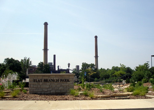
Market Square
The Market Square at the intersection of Cherry Street and Flat Branch Creek was intended to be the real heart of the city and for the first decades of Columbia most businesses were located there.
The local historian John Crighton speculated that the section of Fourth Street that connected the creek and the market square was named Water Street to attract investors to the city by evoking images of canals and docks with a direct connection to the Missouri River.
Other city institutions were located with the seeming intention of making Flat Branch the center of the city. The city fathers also moved the Booneslick Trail from its former route through the north end of Boone County to a new path down Broadway and across Flat Branch.
The strategy of relocation to the creek bottom worked and the city of Columbia did thrive, but overall the combination of water and development was a failure.
Flat Branch
The section of Broadway that intersected Flat Branch became one of the most notorious mires along the entire Booneslick Trail and as early as the 1830’s city funds were invested in keeping dray teams near the creeks to haul out stuck wagons and paving Broadway to make the roadway passable in wet weather.
During the late 1840’s the city market square along Flat Branch was generally abandoned in favor of business locations atop the ridge marked by Eighth and Ninth Streets.
The few mentions of Flat Branch Creek that predate the Civil War are vague, and after the war the creek was largely ignored. A likely reason for the lack of direct description of the area fits the interests of William Switzler, Columbia’s first newspaper publisher and historian.
His involvement in local politics civic boosting and heavy investment in real estate would give him every reason to be reluctant to report on an unattractive part of town, and it is significant that he was in the forefront of the 1843 campaign to separate the city center from the creek.
The move of the business district out of the bottoms left the market square area largely abandoned and road construction to the west slowed while land was annexed to the east. The move of the business district is the last mention of Flat Branch in most city histories, although it did continue to exert some influence on the growth of Columbia as is suggested by the lag in development in the city’s west end.
An orthographic map of the city in 1869 levels out the terrain and omits Hinkson Creek at the east end of town, but the ravine at the center of the map indicates how obvious a feature Flat Branch Creek was in the landscape of Columbia during the years that saw the birth of Sharp End.
No comments:
Post a Comment